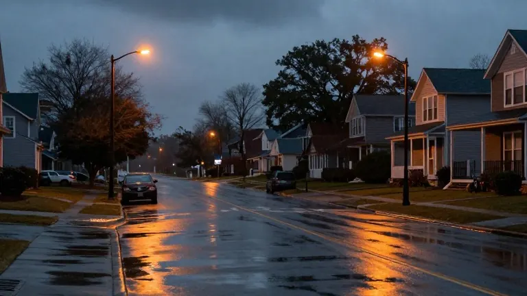
Charlotte faces wet Thursday and Friday before weekend sunshine returns
A First Alert covers the Piedmont region through Friday morning as temperatures fall to seasonal levels by the weekend.
By Fatou Mitchell ·
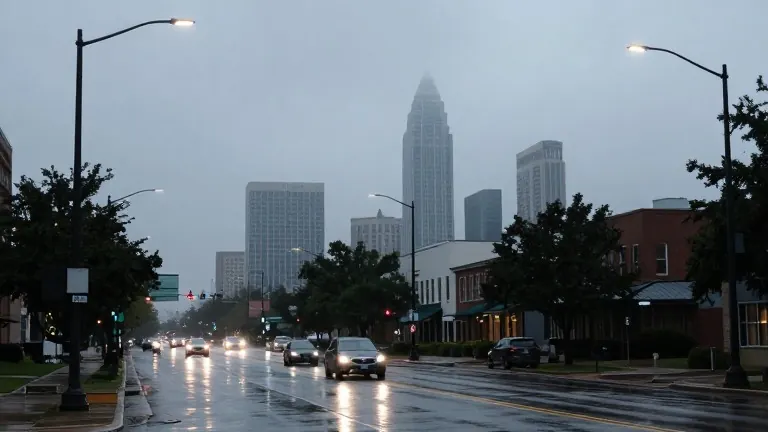
Intermittent rain will continue to affect the Charlotte area on Thursday, according to local meteorologists. Residents should expect a generally warm and humid day with high temperatures reaching the low to mid-70s. While the sky will remain mostly cloudy between showers, heavier thunderstorms may develop during the afternoon and evening hours.
A First Alert remains active for both Thursday and Friday. Additional showers and thunderstorms are forecast to move across the Charlotte area and the Piedmont region overnight. This weather system is expected to conclude during the late morning hours on Friday. Early Friday morning commuters, particularly those traveling south and east of the city, may face disruptions due to the lingering precipitation.
Conditions will improve as Friday progresses. A clearing trend is set to begin in the afternoon, bringing dry weather to the region. The same high temperatures of the low to mid-70s are expected on Friday before the mercury drops. Saturday and Sunday will feature more seasonal highs in the mid to upper 60s.
Nights over the weekend will bring cooler temperatures, with lows dropping into the 30s and 40s. The return of dry weather and sunshine will persist throughout the weekend. The local weather service advises viewers to use its mobile application to receive real-time alerts and updates on the shifting conditions.